 The Outdoor Adventure Giving you tips, tricks & recommendations to help make adventuring in the Outdoors fun, safe & exciting for you and your kids.

 |
| The Stevens Lakes Chain |
An hour or two out of Clearwater, BC on logging roads that often have deadfalls blocking their way is a slightly obscure trailhead Marked “Stevens Lakes 7 Km”. It is considered back country and you need a good back country map book (Something that documents the forest service roads of BC). What you find is a beautiful series of lakes where the parks department has dropped in 2 canoes and a camp area that has present numerous other (leaky) inflatable boats, some pots and two grills and if your lucky maybe a broken fishing rod, and whats more, a view of Battle Mountain. Did I mention the fishing?
Following the Raft/Ritchie FSR off Road 9 East of Clearwater, before you enter the park, you snake up a maze of logging roads, some of which appear more like trails because of the encroaching brush and one or two that are flagged, as part of the FSR has eroded (Be careful and map your road). Make sure you bring a vehicle that you don’t mind getting scratched, and be sure to bring a saw to cut up any deadfalls in the way.
Eventually, if you take the right road you will arrive at an old clearcut section with space to park your car. Following down the road, keep an eye out on the right side for the sign and follow it off the logging road and into the woods.
 |
| Make sure you leave the logging road at this point. We had some late arrivals who missed the sign and followed the logging road down into the valley. They ended up blazing a trail and adding a few hours to their trip. |
 |
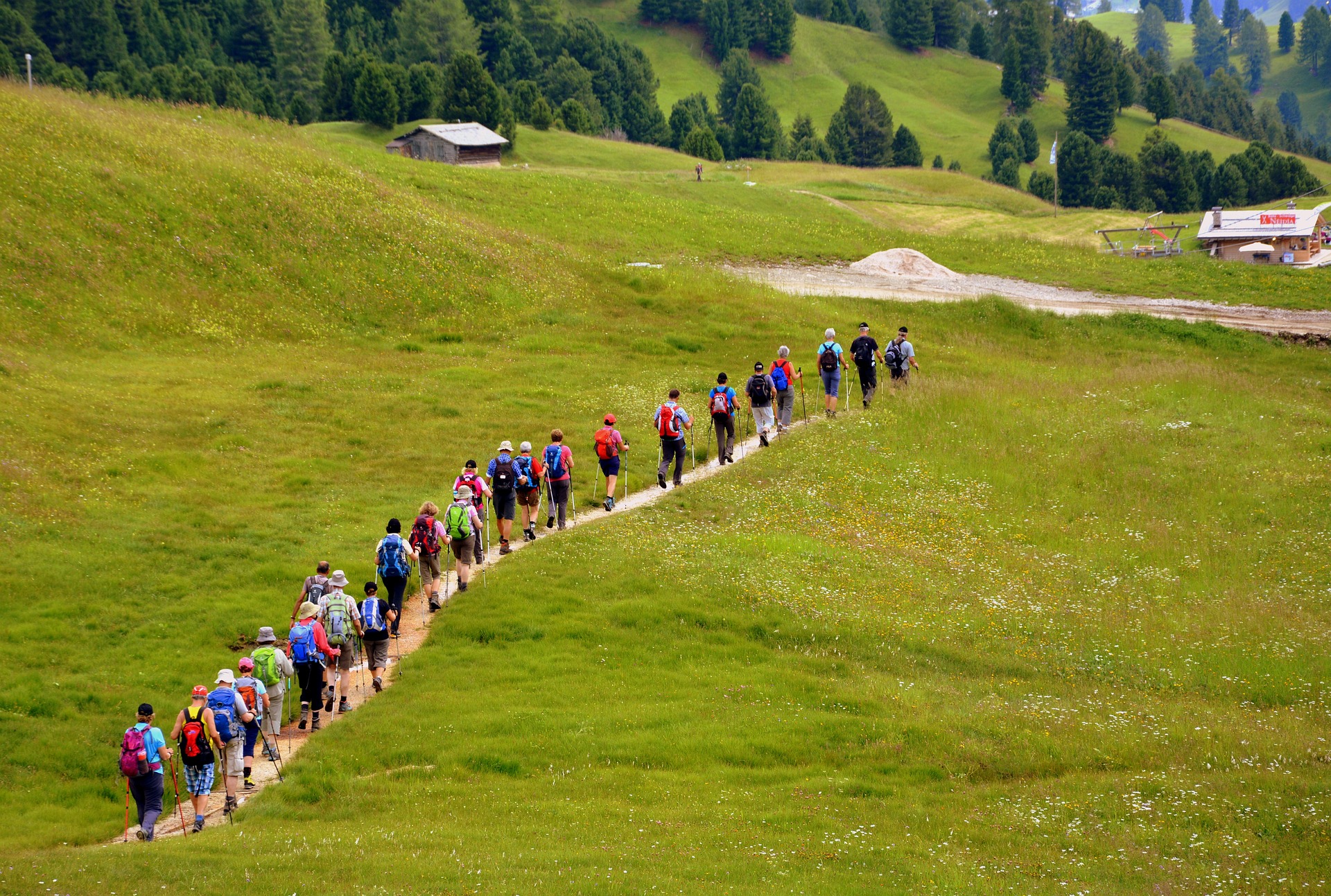
| One of the large open meadows on the way in. |
At times the trail is well marked, at others it is just open meadows with the occasional cairn. After the first 45 minutes or so of ascent it levels out. For the last 30 minutes to an hour you descend on a well marked trail (watch out for the deadfalls across the trail) until you get to a very wet meadow. (Worth taking off the shoes and socks until you get across). At the camp you will find several flat camp areas, a picnic table and a fire pit. If the canoes are still there, use the red one.
Only one other group arrived that summer long weekend (August). That is my gauge of a good location. The only complaint was that the dog they brought with them was barking constantly. We didn’t see any wildlife other than the fish and the mosquitos.

We set up camp and headed out to fish. The best area is about 100 meters off shore where there is a deep hole. Definitely bring a collapsable rod. Wedding bands were excellent as well as flatfish. On a double wedding band I lost something around 18 inches or so. We had 3 people in the canoe and several times had 2 trout on at once. We feasted well that night.

For a hike, we decided to make a trip to battle mountain. We used the canoe and a couple inflatable boats to cross the lake and head east to a stream. From there we followed the stream up sticking close on the left side up past a small waterfall to a lake. We stopped for lunch and then climbed a steep slope on the far side of the lake to another ridge. Because of a late start we couldn’t make it to the old inactive Volcano, but it is a defintely doable day trip if you started early (15 KM return).
We got back to camp in the late afternoon to greet some late arrivals and do some more fishing. We would have kept more than we did, but nobody liked the thought of having to pack out the food we didn’t eat.
 |
| Battle Mountain |
After a nice hike back to our vehicles we took a detour into Wells Gray Provincial Park to see Helmcken falls.
 |
| Early morning on the lake. |
Just make sure you know where you are going, it is easy to get lost amongst the old logging roads. In addition you need to be able to orientate yourself. There are no trails aside from the begging and descent to the campsite. Bring a map and know how to use it and either a GPS or compass.
Resources:
Map of the area:
http://www.wellsgray.info/home/maps/tfb/map-tfb.html
Wells Gray Provincial Park Back Country page:
Parks Map:
Lat and Long of the Camp site for Google Earth:
51°56’31.70″N, 119°47’12.21″W